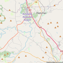
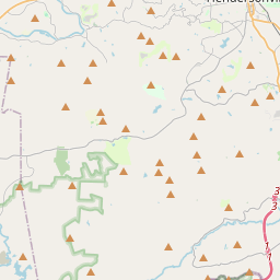
![](https://a.tile.openstreetmap.org/11/554/808.png)
![](https://b.tile.openstreetmap.org/11/555/808.png)
![](https://b.tile.openstreetmap.org/11/554/809.png)
![](https://c.tile.openstreetmap.org/11/555/809.png)
![](https://c.tile.openstreetmap.org/11/553/808.png)
![](https://c.tile.openstreetmap.org/11/556/808.png)
![](https://a.tile.openstreetmap.org/11/553/809.png)
![](https://a.tile.openstreetmap.org/11/556/809.png)
![](https://b.tile.openstreetmap.org/11/552/808.png)
![](https://a.tile.openstreetmap.org/11/557/808.png)
![](https://c.tile.openstreetmap.org/11/552/809.png)
![](https://b.tile.openstreetmap.org/11/557/809.png)
![](http://labs.google.com/ridefinder/images/mm_20_red.png)
Leaflet | © OpenStreetMap
Capital: | Hendersonville |
---|---|
Origen y Formación del condado: | Buncombe County |
Población: | 107,927 habitantes |
Área: | 375 sq mi |
Localización del condado dentro de North Carolina: |
![]() |
Localidades en Henderson, North Carolina
- Balfour
- Barker Heights
- Bat Cave
- Dana
- East Flat Rock
- Edneyville
- Etowah
- Flat Rock Henderson County
- Fletcher
- Fruitland Henderson County
- Gerton
- Hendersonville
- Hoopers Creek
- Horse Shoe
- Laurel Park
- Mountain Home
- Naples
- Saluda
- Tuxedo
- Valley Hill
- Zirconia